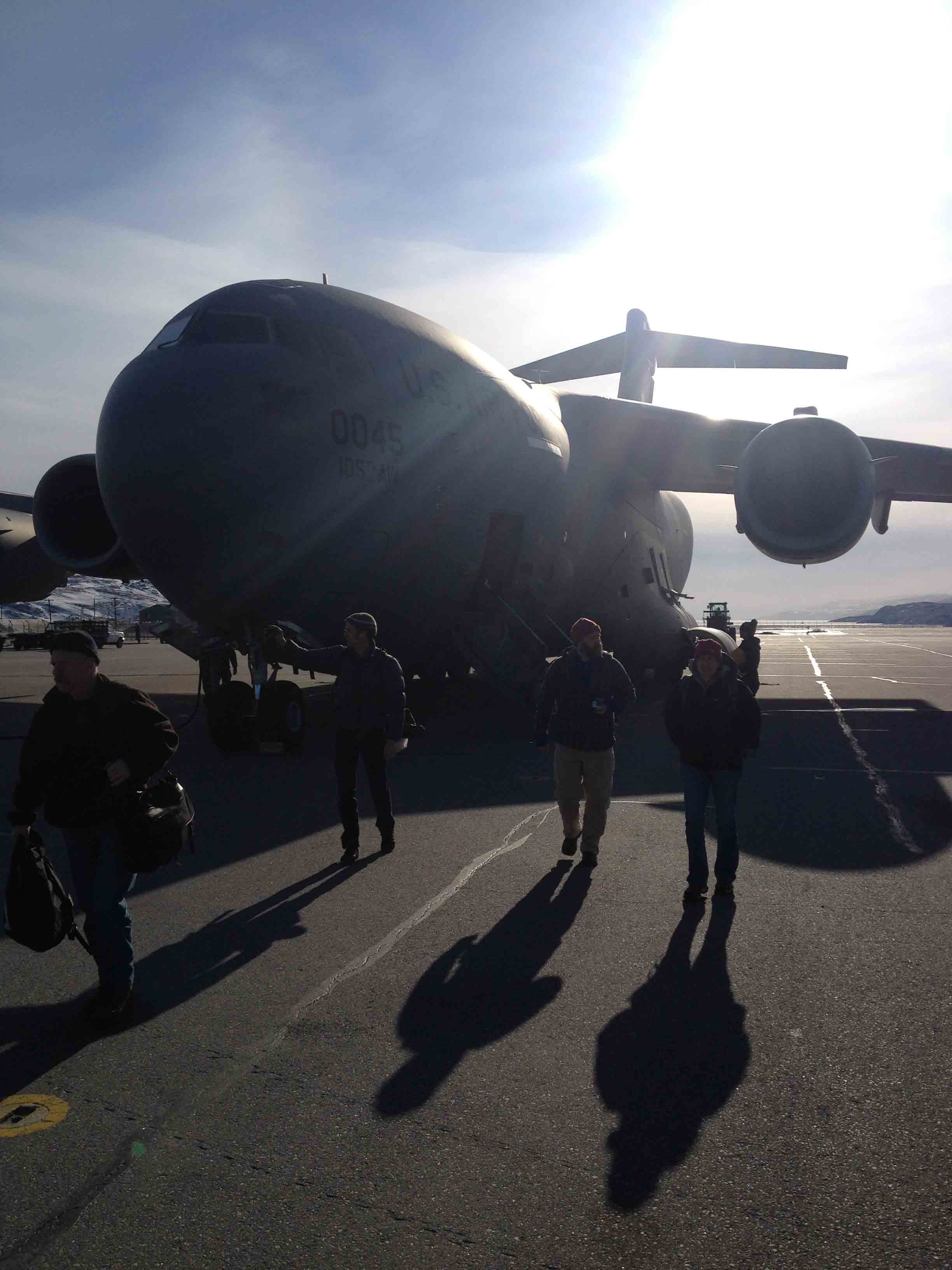
Today’s post is about our day on the ice sheet yesterday. There is a lot to tell and it is probably best done with photos so this post is a photo post.
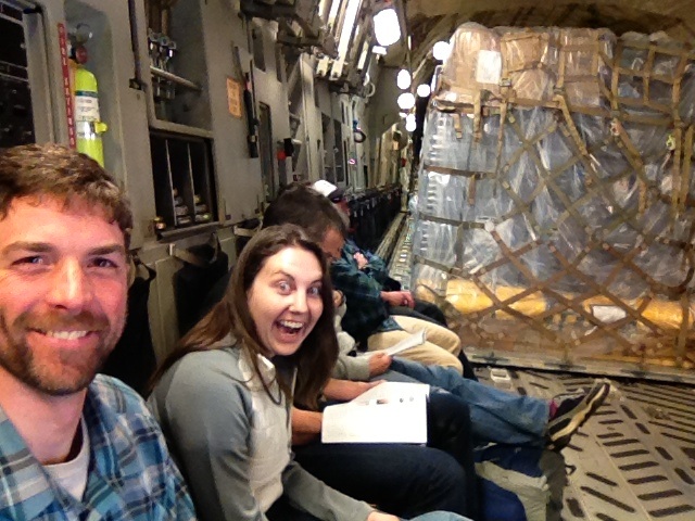
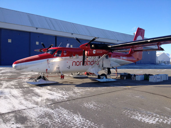 The Twin Otter with our load of gear waiting to be loaded.
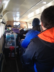
Waiting to take off. Us in the back. Gear in the front.
Flying out of Kangerlussuaq. Ice sheet is on the horizon. Foreground is the unglaciated coastal area of Greenland.
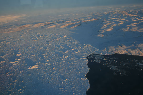
Crossing onto the ice sheet. Out the left side. You can see the coastal land and then the ice.
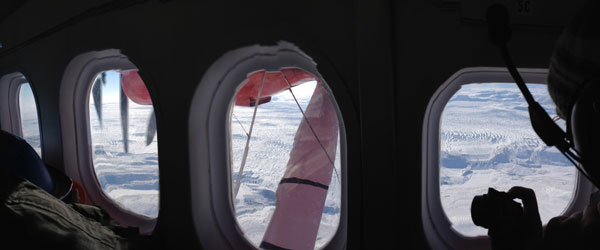
Right side with the ice sheet “pouring” down to the ice/land margin. Ben photographing out the window.
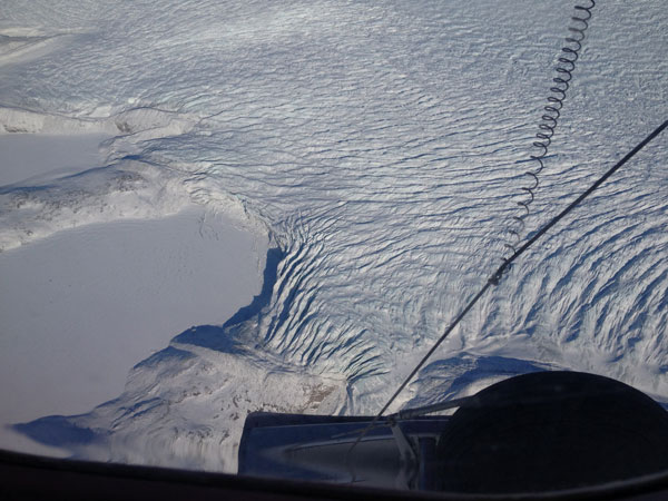
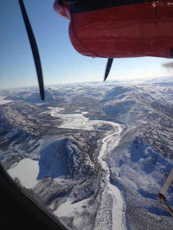
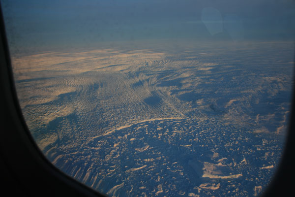
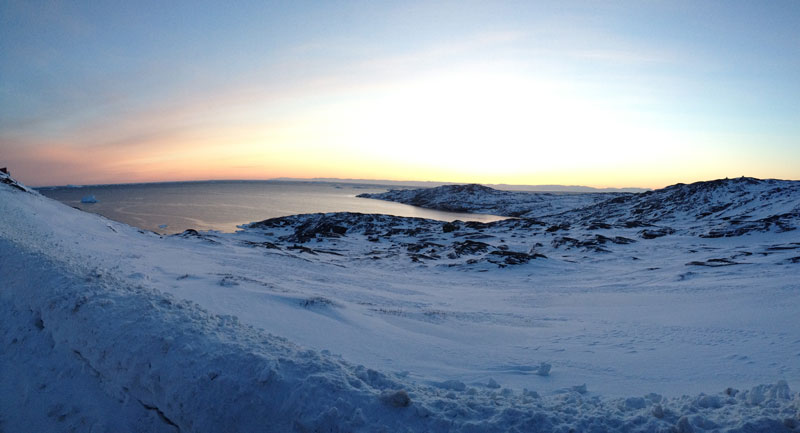
Ice margin. Lower left is snow covered land and a frozen lake. Ice sheet is coming over land from upper right.
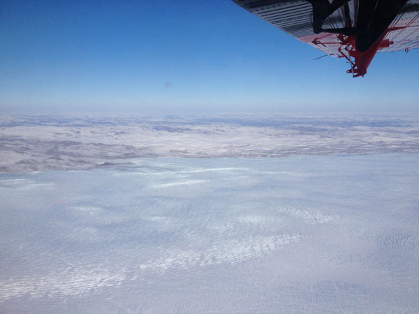
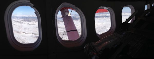
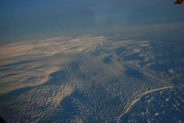
View to the northwest. Ice sheet is under us with ice edge in the middle of the photo and land and sky on top of photo under the wing.
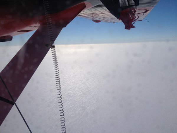
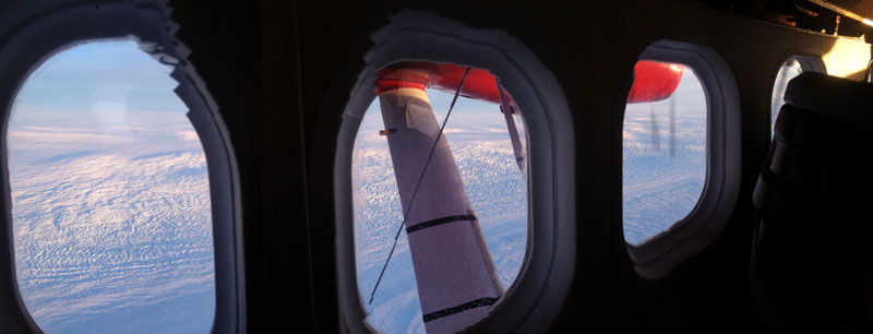
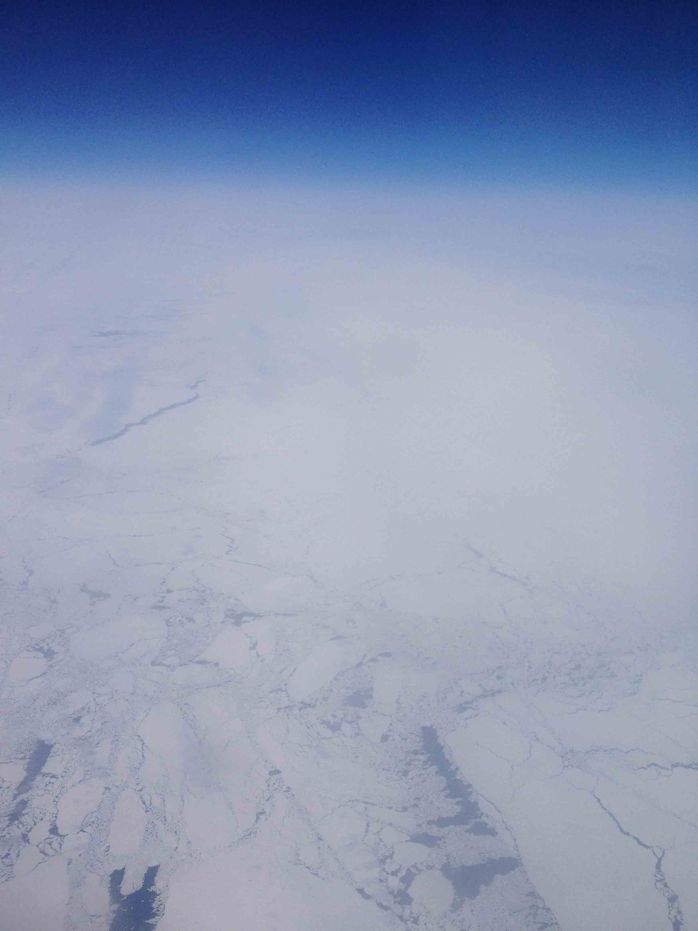
View towards the middle of Greenland. Only the margins of the ice have lots of relief. Within about 50 km from the edge the ice sheet is nearly featureless. The ice is very gently sloping upward. In fact the pilots flew at the altitude of our landing site and the land rose over the next hour to meet us. Very cool.
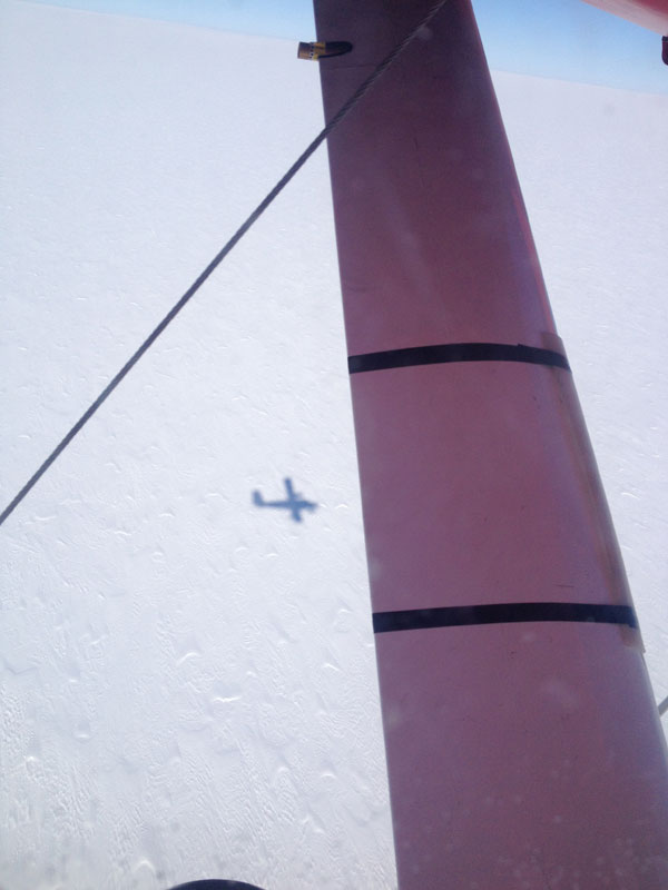
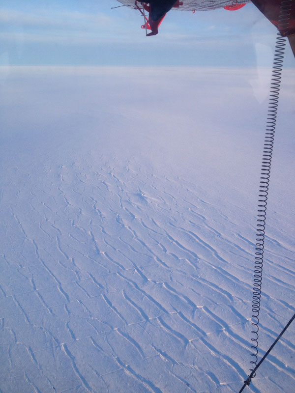
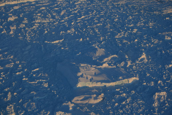
This photo is straight down. Hard to make out but the snow on the surface is showing two distinct prevailing wind. There are linear snow dunes going one way and they another set on top going another way.
Getting closer to the ground-or the ground is getting closer to us.
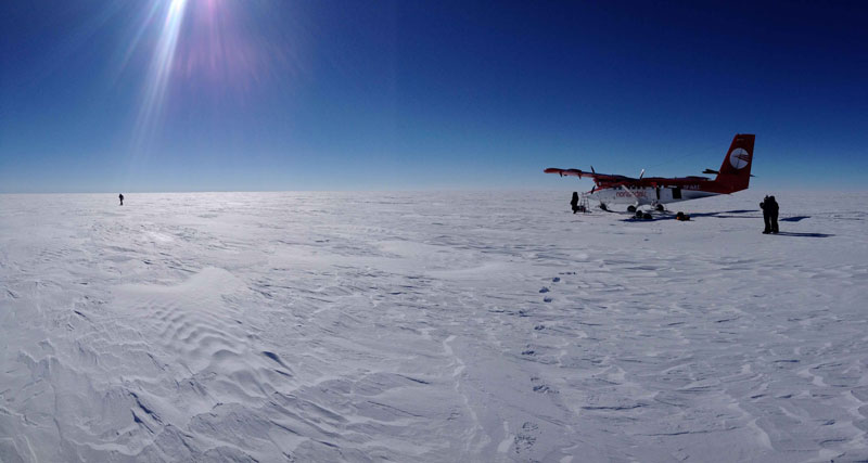
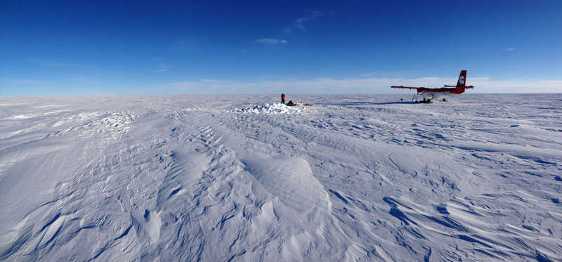
On the ground. Flat, hard snow and -32 C (-25 F). But sunny! Odd to have put on lots of sunscreen for such a cold day but the reflected light will burn you badly.
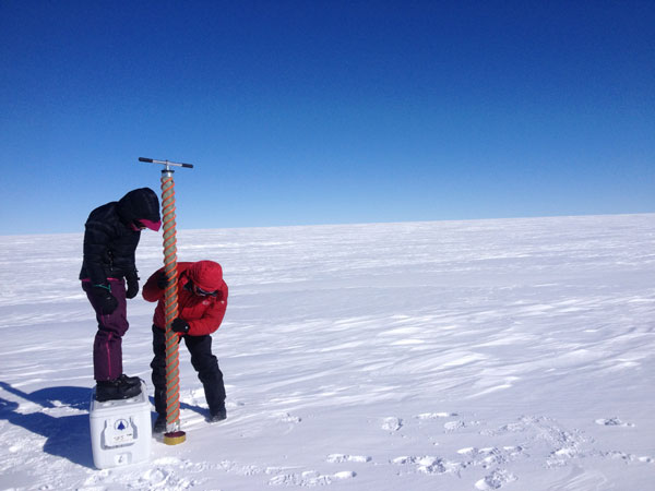
Getting to work. Left to right: Laura getting ready to use the Kovacs drill to drill holes for 3 m bamboo poles that will mark a GPS station. Matt and Ashley starting on the snow pit and Sarah setting up the coring materials. The pilots put “pajamas” as they called them around the engines (big blankets to keep the heat in).
Matt and Sarah working on the ice core. You have to get up high to start the drill and as it gets deeper you can add sections to the handle.
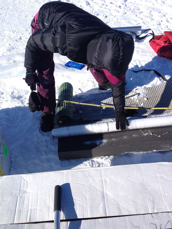
Sarah measuring the core. When it comes out of the core tube, it gets laid on a tray were it is “logged” with the number of pieces that came out, the length, the width, the weight (but our balance battery died in the cold) and the temperature about every meter.
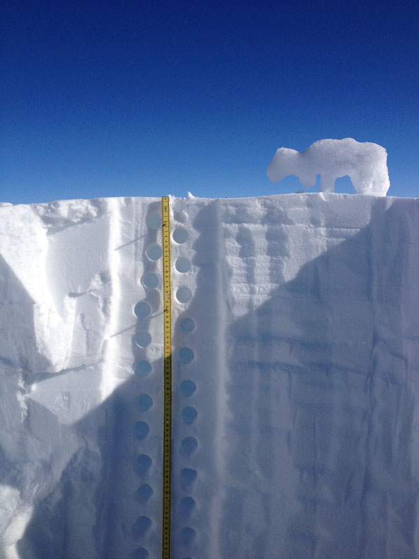
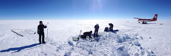
Sampling in the snow pit with a an ice bear visitor.
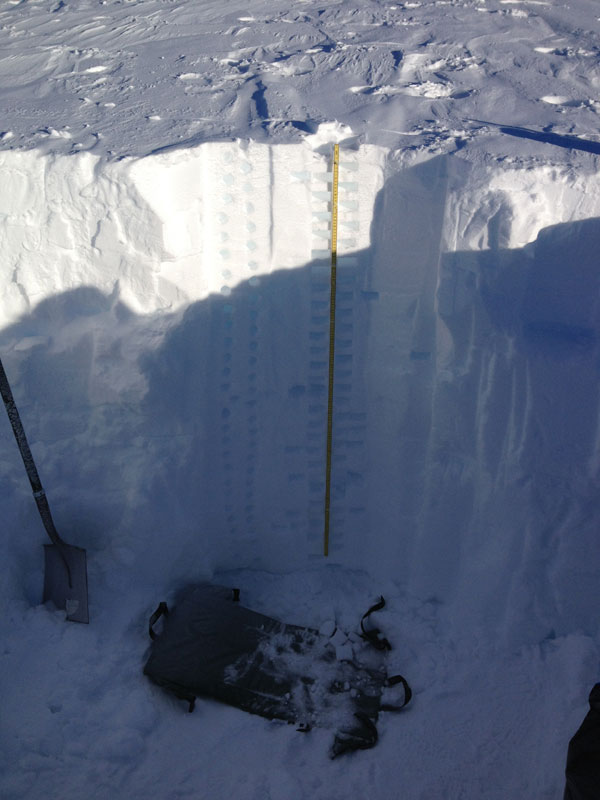
This is the finished snow pit. The pilots wanted to help so they actually dug most of this and then Ashley and I cleaned the face and sampled. It is 1.69 meters deep at which point we hit a very hard ice layer that we think is the 2012 surface melt that refroze. Round samples were to gather snow for major ions (MSA and sea-salts) and the rectangular ones are to measure snow density and snow water equivalent (the sampling tool measures the same volume every time) and for isotopes. This took a long time and was pretty cold. Ashley and I both had very cold (as in numb) fingers by the end even with hand warmers in our gloves. After this we sat in the plane, which was not that much warmer, but enough, to thaw fingers.
Finishing up. This is about 6 pm.
Flying from the ice sheet to Ilulisaat we passed over more and more crevasse fields as the ice sheet drains down to the Jacobshavn outlet glacier. The pilots flew us right down over it.
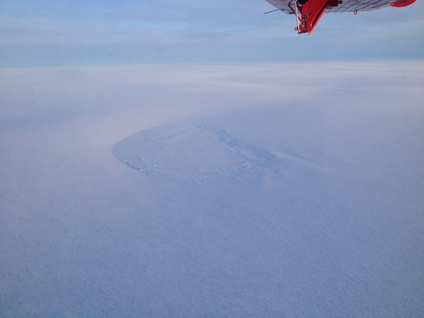
Along the way we were seeing a lot of large melt water lake beds. In summer this will be full of water. There are many of them around the 1000m elevation contour of the ice sheet.
As we got closer to the ice edge we started seeing lots of crevasses and what looked like a “river” of ice-an area that was clearing flowing faster.
This is the Jakobshavn with the trunk of the glacier coming in from left and curving towards bottom right. Another tributary ice stream comes in from middle right. The ice calving front is the prominent “line” in the lower right. The calving front is about 100m high.
Looking back up to the Jakobshavn. In the foreground is the ice berg/sea ice melange floating on the fjord surface. Note the huge berg casting the long shadow.
A massive berg floating in the melange of sea-ice and smaller bergs that have calved off the ice front.
As we went down the fjord (not very far-maybe 2 km) the melange breaks up and there is open water with ice bergs floating.
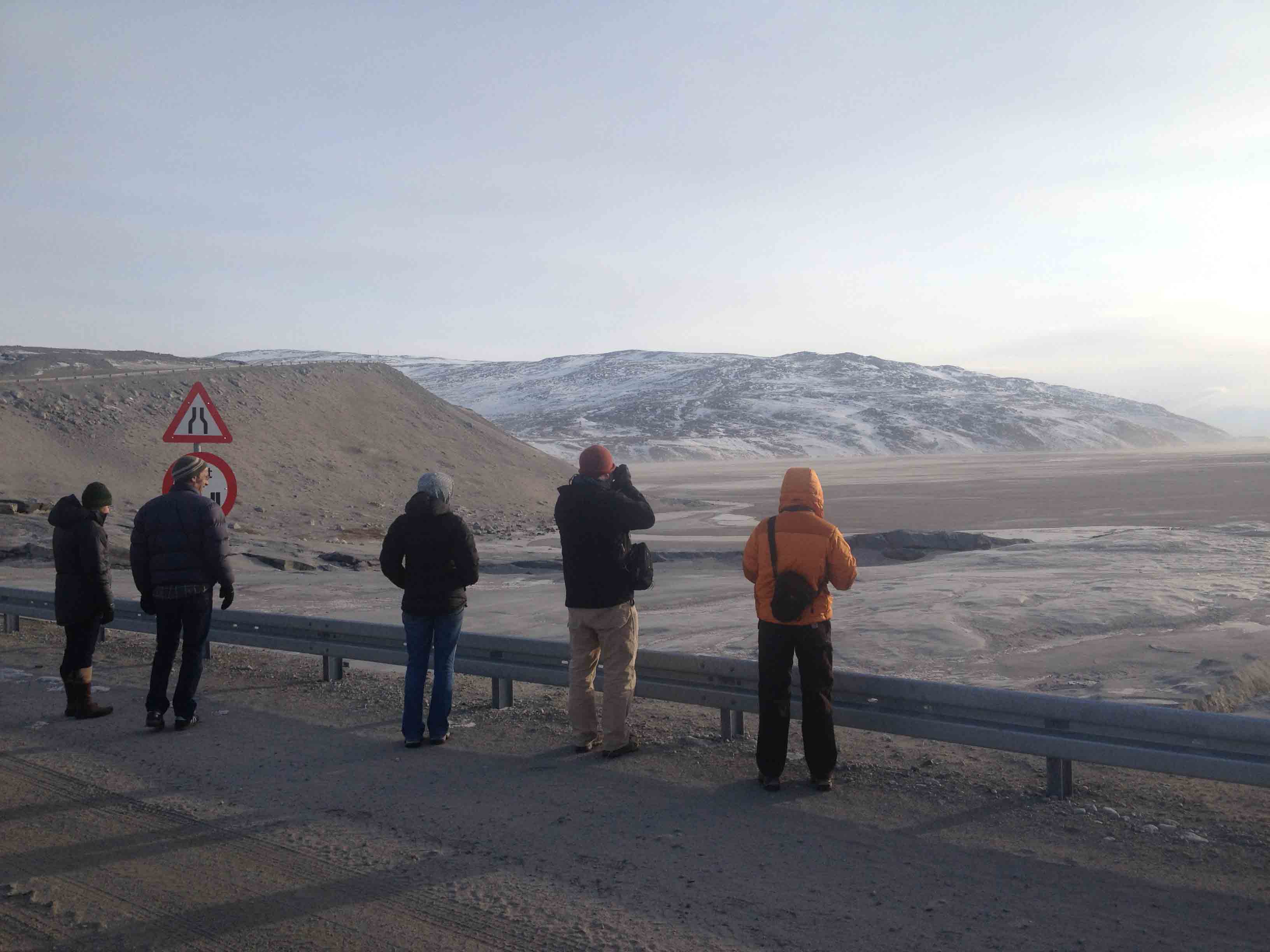
The airport at Ilulisaat closes at 9pm and we landed at exactly 9pm. We were met by Audrey from Polar Field Services who drove us to our hotel which is right on the water. This photo was along the drive from the airport to town. It is about 9:45 pm and still light out. We had pizza at about 11 and all crashed into bed.
Read More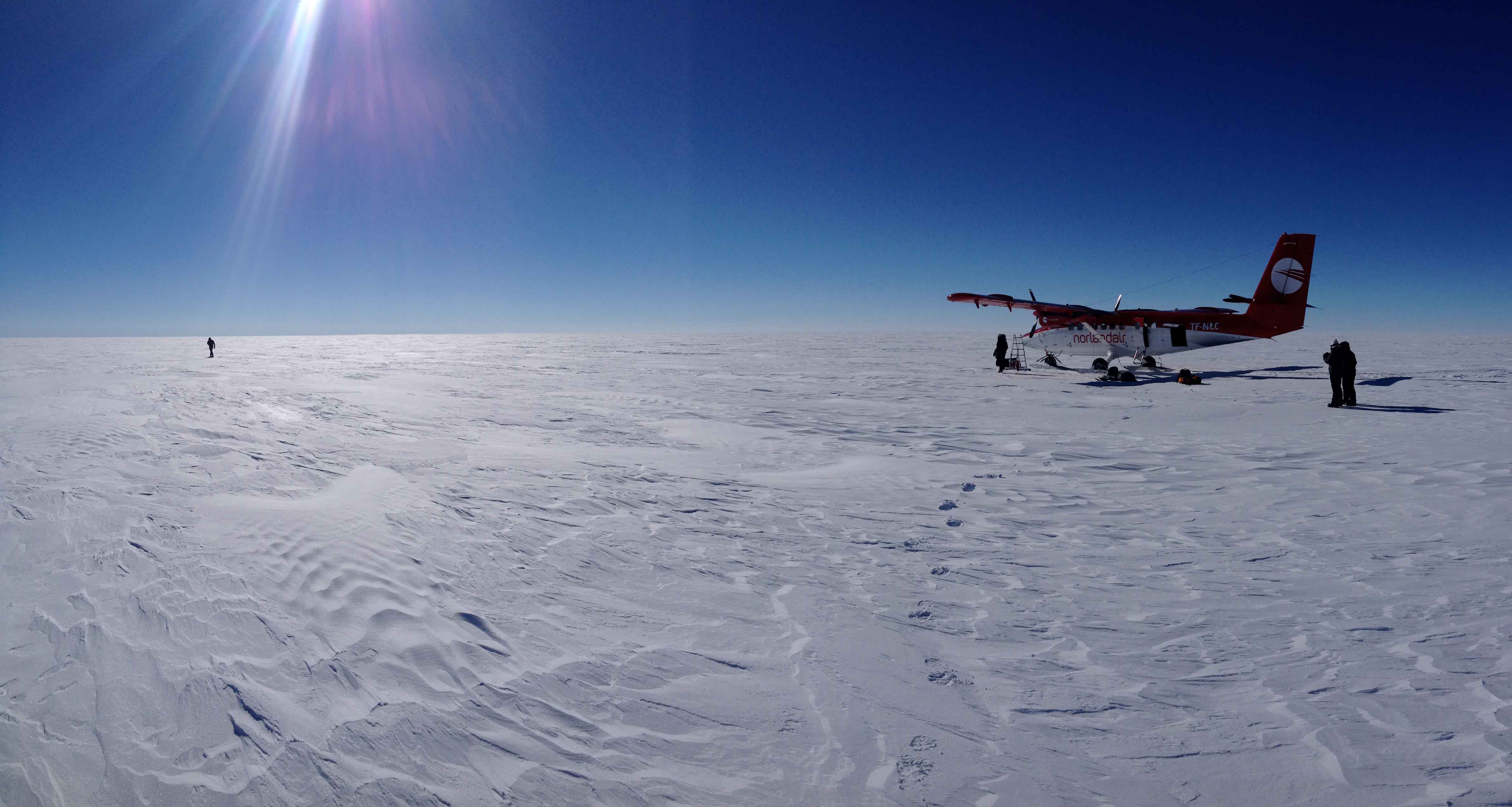


 FOLLOW US ON TWITTER