The following post was written by Luke Trusel (and edited minimally for clarification).
After several, well fed and cozy, but cabin fever-inducing days of weather delays in Qarsuut, we were off to our third and final site, Greeland Central! The “GC” site was our first and only site of the year on the Greenland Ice Sheet, situated at 2400 m (7874 ft) elevation. The central part of the name comes from it’s being located centrally between two sites where our group drilled shorter firn cores last year (Work at one of these sites is detailed here: http://www.miltonacademy.info/science/the-ice-sheet-2-photo-blog/).
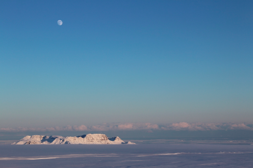
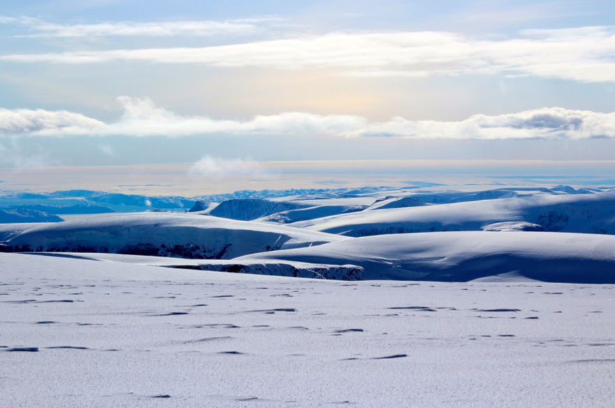
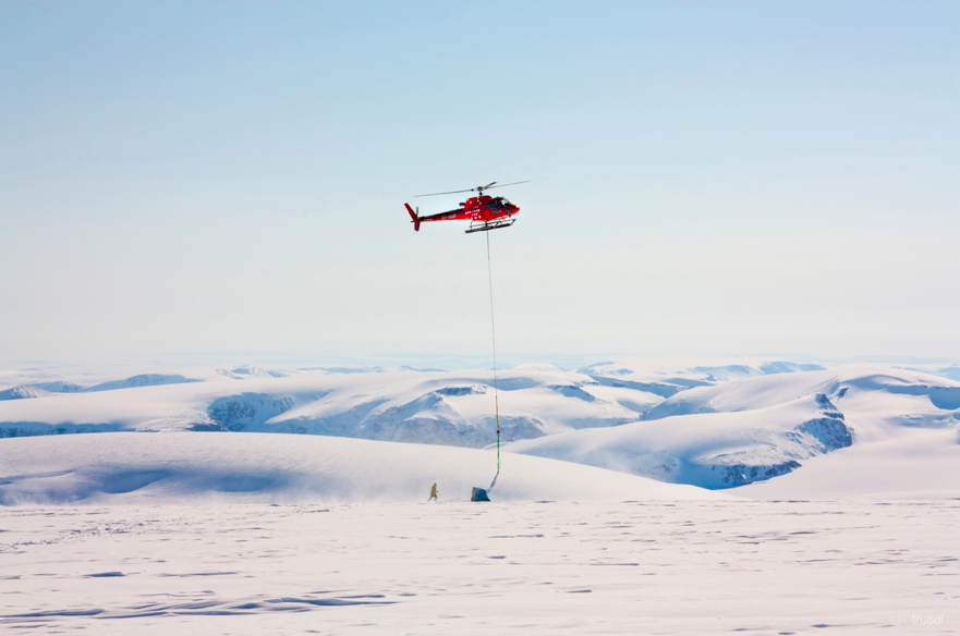
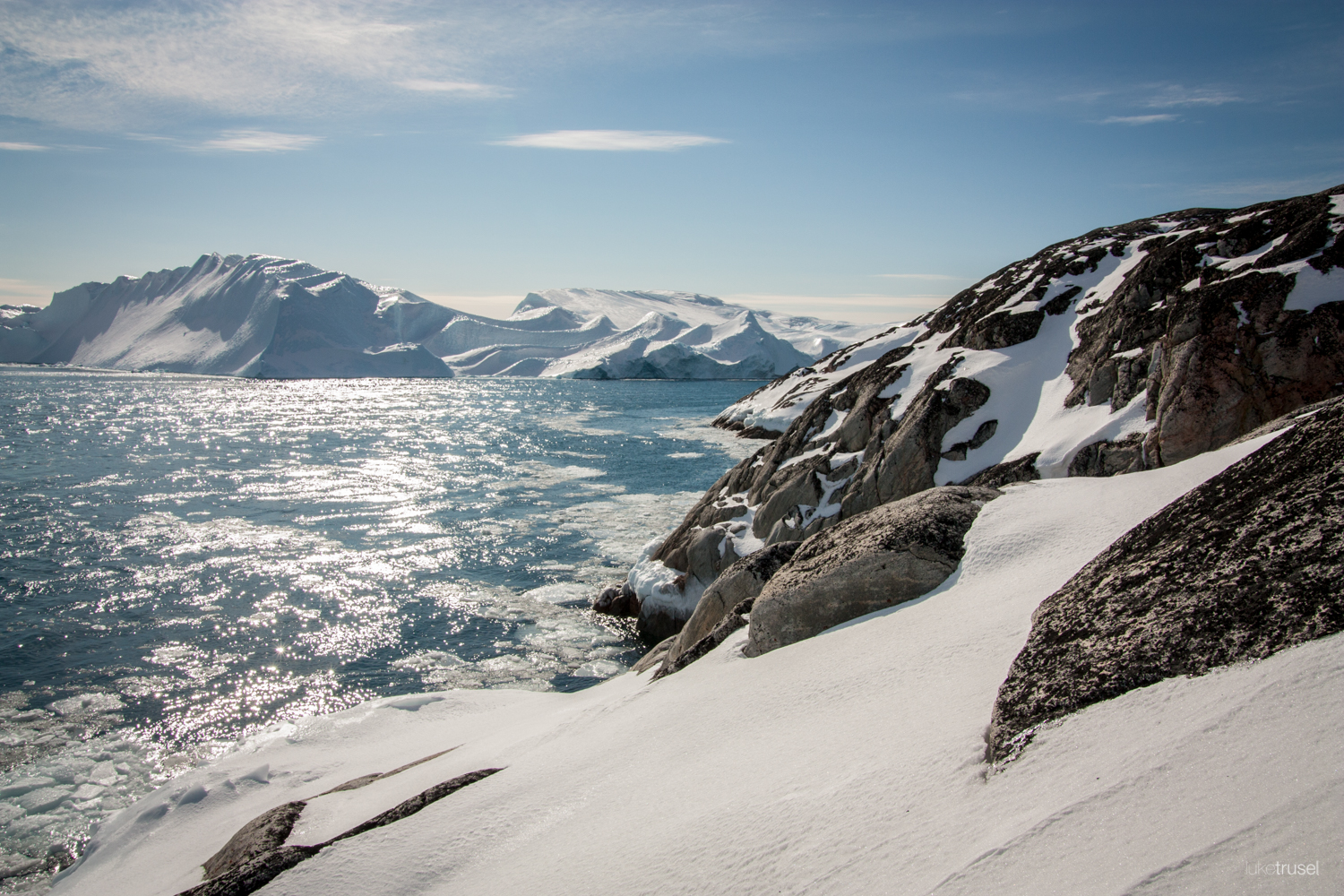
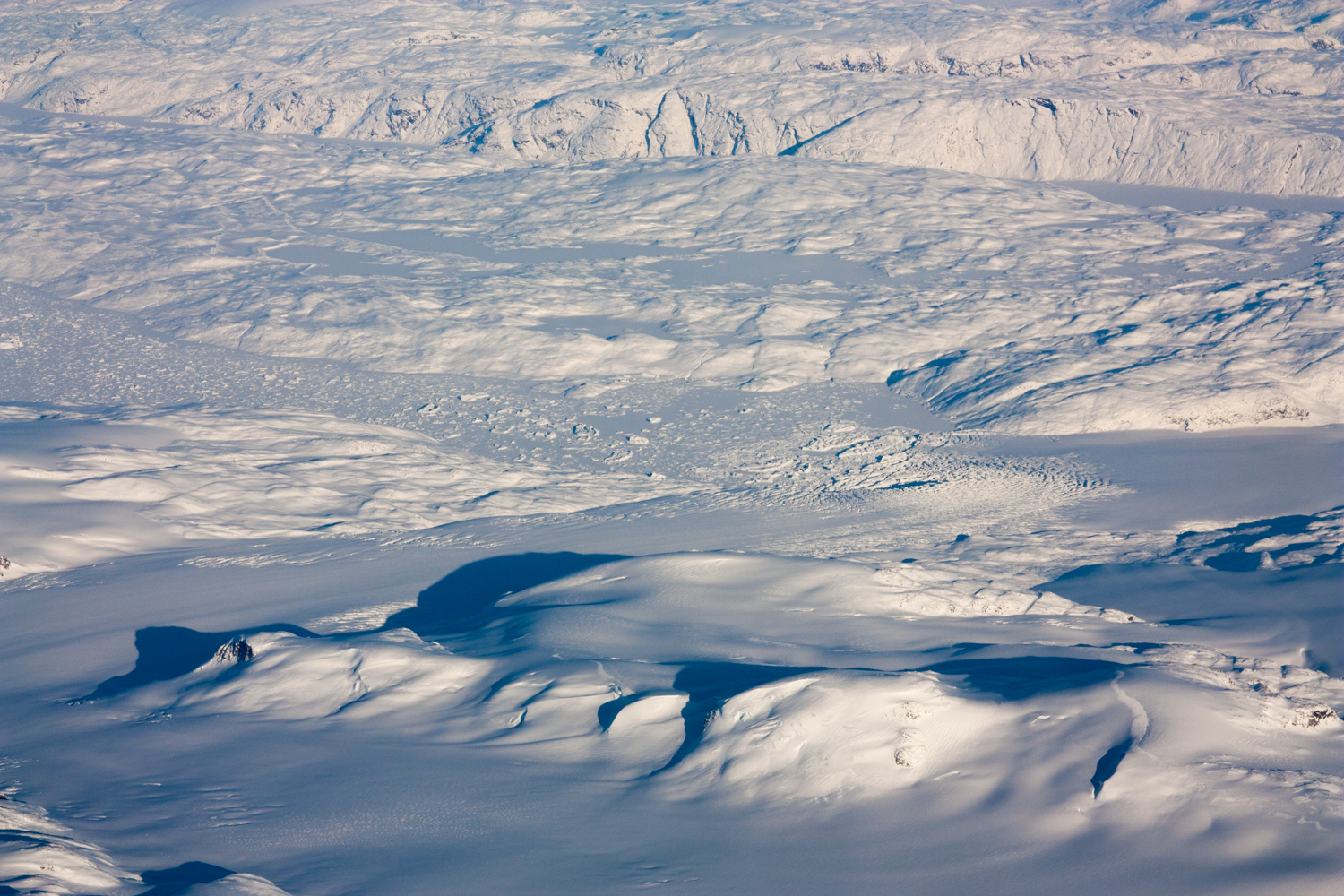
On the flight out, we savored the incredible beauty of the glacially carved coastline, knowing that we were headed for a flat expanse of white ice as far as the eye could see. Indeed, the trip to the ice sheet was filled with beautiful views of mountain glaciers and small ice caps. As we got closer to the ice sheet, we began to see the large and heavily crevassed outlet glaciers that drain the Greenland Ice Sheet. We flew almost directly over Store Glacier, which terminates in a thick mélange (a dense pack of small icebergs trapped by a seafloor ridge).

Above: The heavily-crevassed tidewater margin of Store glacier in the lower right and its thick mélange of icebergs and bergy bits in the ice-covered fjord.
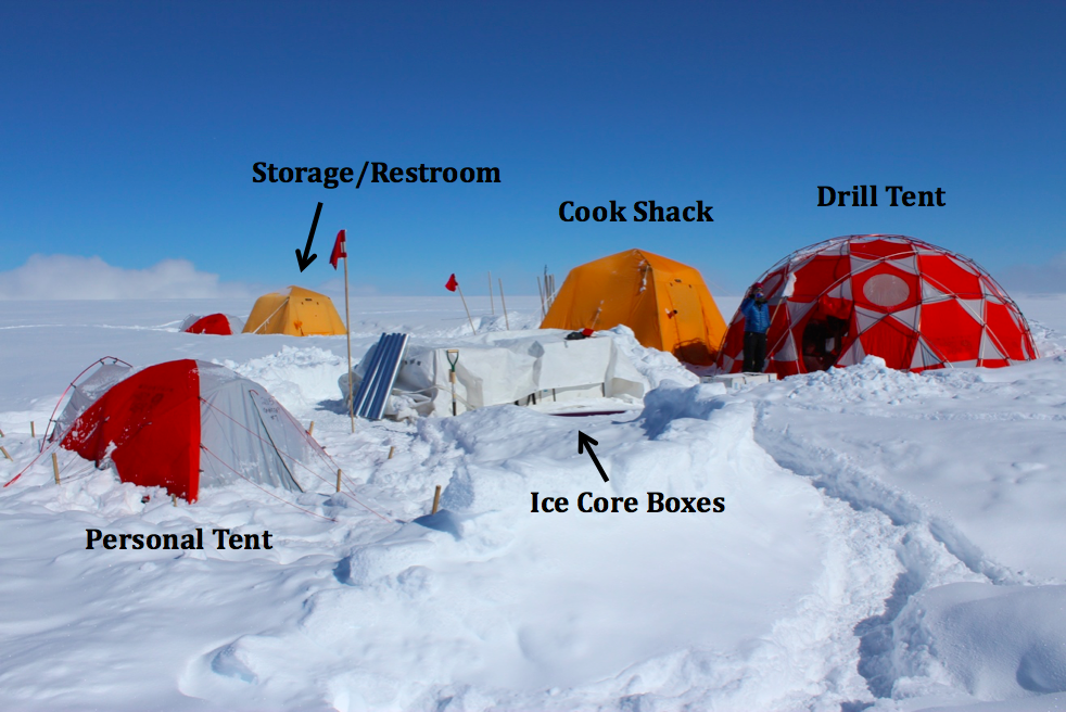
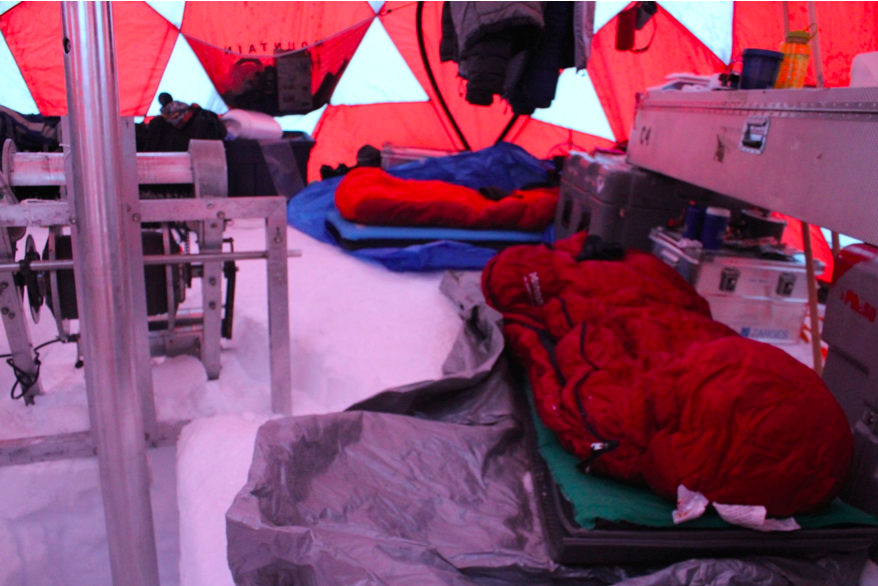
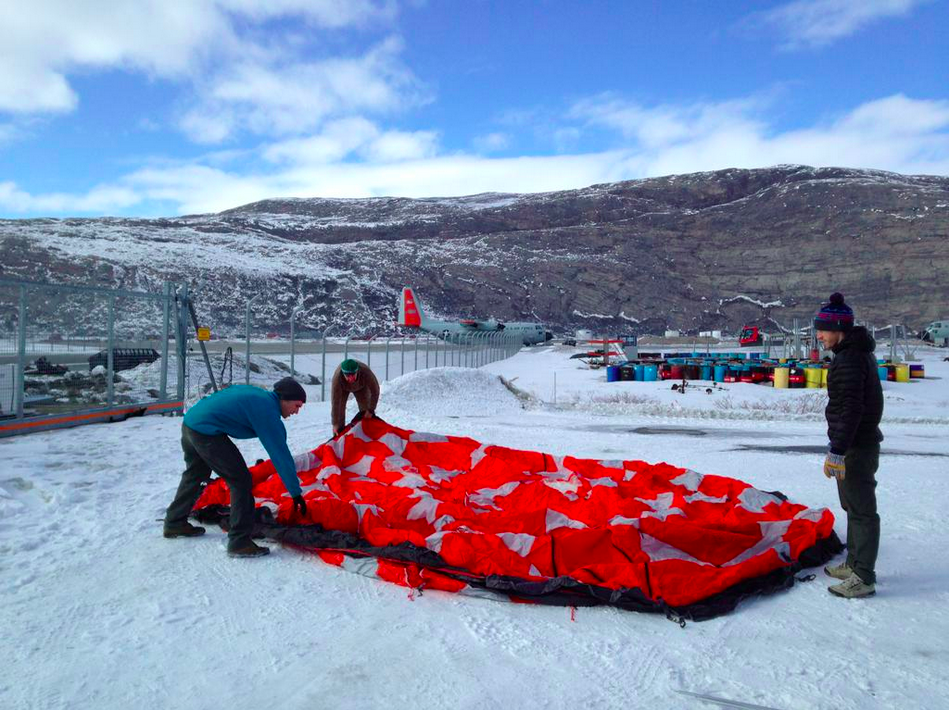
We arrived at the ice sheet after about an hour and a half of flying and found that the weather here was much nicer than that along the coast. We immediately got to work setting up camp. At this point in the field season, we were operating as a well-oiled machine. Setting up the drill and other tents was faster than ever, and even though we were delayed getting in, we had plenty of time for Oz to make some of his now-famous bean burritos.

The GC camp after the big storm (minus the bathroom tent, which we sent out on the first flight with our ice cores!).
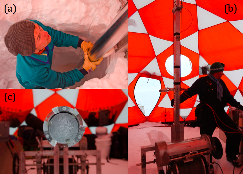
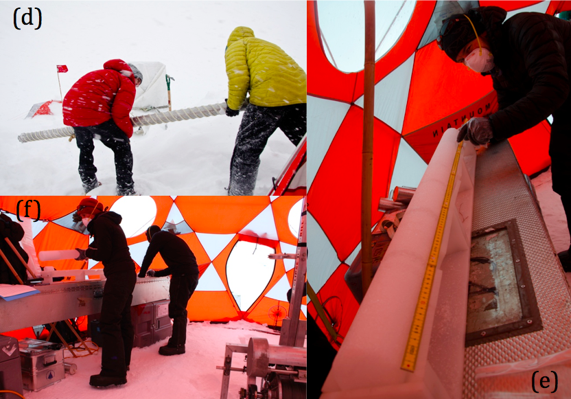
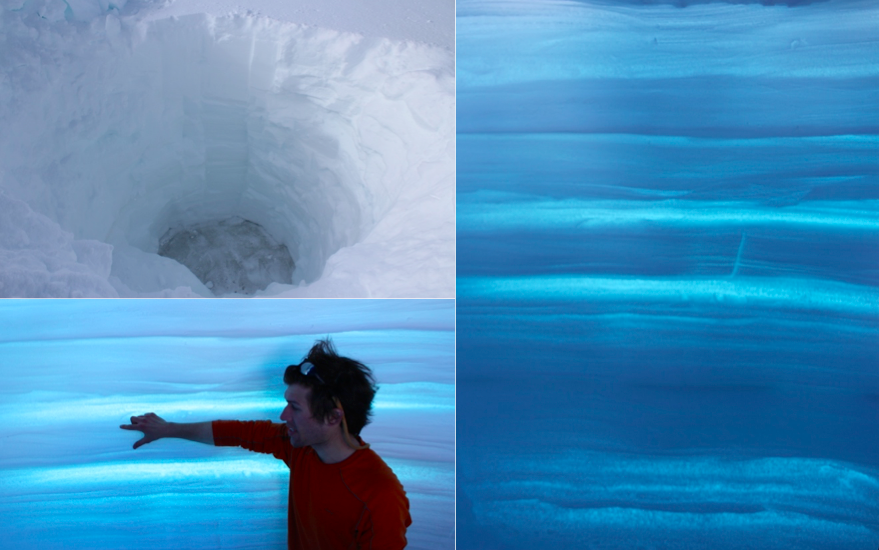
Drilling commenced the following day, and like everything else, core recovery and processing was smooth and efficient. Much of my time at GC was spent on core processing – tasks involving taking each recovered ice core section, logging and taking inventory of the length, diameter, weight and other physical characteristics, and bagging and ultimately boxing the ice for shipment back to the States.
During this time spent core processing, I also got a first hand view of climate going back in time.
Melting at the surface of Greenland has quite dramatically accelerated over recent decades. The area of the ice sheet undergoing melt has increased with some places melting for the first time in more than a century. The volume of meltwater produced across the ice sheet has also increased, and this melt makes up about half of Greenland’s likewise increasing contribution to sea level rise (the other half is from glacier flow and calving into the ocean).
The recent ramp up in surface melt was clearly visible in the GC core (although detailed analyses are still a ways off). As this site is located in the ice sheet percolation zone, melting at the ice sheet surface drains (or percolates) downward into the near-surface firn and then refreezes. These refrozen melt layers are quite easily distinguished in firn as being nearly bubble-free and glass-like, whereas unaltered firn looks more like compacted, white snow. Because warmer summers produce more melt, reading the melt layers back in time via the ice cores can provide detailed information on past variability in summer climate. What I observed was a much higher frequency and thicknesses of refrozen melt layers in the top of our GC core (i.e., the most recent time) and a decrease in both frequency and thickness as we drilled deeper and back in time. The core was clearly documenting the widely known recent intensification of melt across Greenland. However, just how unprecedented are these changes? There were certainly periods as we drilled deeper that melt again increased. What is driving these changes in melt and therefore summer warmth across Greenland? The answers to these questions are ones that my research seeks to address after further analyzing what the cores are telling us.

Image from the National Ice Core Laboratory’s ice core scanning system of one the previous year’s cores from the ice sheet. In the middle of the image is the notable 2012 melt layer, stemming from a series of events in which nearly 100% of Greenland’s surface experienced melting. (As I was pretty busy processing the ice cores in the field, I didn’t get any field photos of the ice layers. However, we’ll be imaging this year’s cores at NICL in just a few weeks from now.)
After several days of drilling and finally reaching our goal of 100 m depth, we had a day of flights scheduled to retrieve us, our camp gear, and our extracted ice off of the ice sheet. On our first flight of the day, we sent out our most precious and important cargo: the ice cores! Almost simultaneously as the plane took off, a dense fog rolled in. This prevented any further flights that day and ushered in a two-day storm. These days were spent mostly being tentbound and building the snow walls surrounding our tents both higher and longer as the winds shifted direction. At times the wind was so intense that our kitchen tent seemed as if it might collapse! I couldn’t help but think this may have been one of the most intense polar storms I have experienced. It’s hard to tell though – ice sheets can get to be very windy! And of course, it was likely nothing in comparison to that experienced by the folks studying the firn aquifer in SE Greenland this year (link to blog: http://earthobservatory.nasa.gov/blogs/fromthefield/2015/05/05/away-from-the-ice-sheet-until-the-fall/), who received 3 feet of snow in a five-day, intensely windy storm! Luckily for us, there was a momentary calm before another storm approached, and after only two days of being tentbound, our incredible Twin Otter pilots were able to pull us out.
As our successful fieldwork campaign comes to an end, the research phase begins. In just a few weeks we will head to the National Ice Core Laboratory, where we will begin processing the ice cores for further analysis. In some ways, the research phase is just as exciting as being in the field– who knows what we will find and experience as we unravel the climate history stored in the ice.
Read More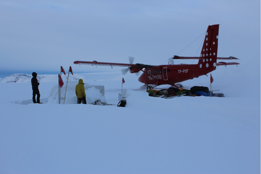


 FOLLOW US ON TWITTER